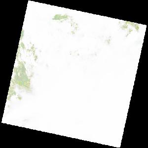
LC09_L2SP_181064_20211226_20220121_02_T2_SR_stac
dataset of product ls9_sr
Indexed by odc_writer
,
created
Region
181064
for
26th December 2021
Fields 🔗
cloud_cover
50.07
collection_category
T2
creation_time
2021-12-26 09:05:00
crs_raw
•
data_coverage
•
dataset_version
•
eo_gsd
•
eo_sun_azimuth
126.107
eo_sun_elevation
57.975
format
GeoTIFF
id
d2efb416-9872-53d6-8749-d47513069c64
instrument
OLI_TIRS
label
•
lat
-6.832 to -4.745
lon
15.065 to 17.083
platform
LANDSAT_9
product_family
•
region
•
region_code
181064
rmse
nan
rmse_x
nan
rmse_y
nan
sat_orbit_state
•
sat_relative_orbit
•
time
2021-12-26 09:05:00 to 2021-12-26 09:05:00
Related Datasets 🔗
LC09_L2SP_181064_20211226_20220121_02_T2_SR_stac