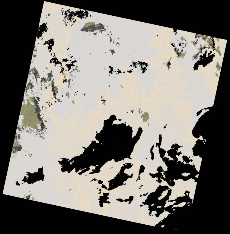
wofs_ls_181064_2021-12-26.stac-item
dataset of product wofs_ls
Indexed by odc_writer
,
created
Region
181064
for
26th December 2021
Fields 🔗
cloud_cover
50.07
collection_category
T2
creation_time
2022-02-14 23:29:29
crs_raw
•
data_coverage
•
dataset_version
1.0.0
eo_gsd
30.0
eo_sun_azimuth
126.107
eo_sun_elevation
57.975
format
GeoTIFF
id
805790b6-3cf7-5c16-8404-bae5d2e54cf4
instrument
OLI_TIRS
label
•
lat
-6.832 to -4.745
lon
15.065 to 17.083
platform
landsat-9
product_family
wofs
region
•
region_code
181064
rmse
nan
rmse_x
nan
rmse_y
nan
sat_orbit_state
•
sat_relative_orbit
•
time
2021-12-26 09:05:00 to 2021-12-26 09:05:00
Related Datasets 🔗
wofs_ls_181064_2021-12-26.stac-item