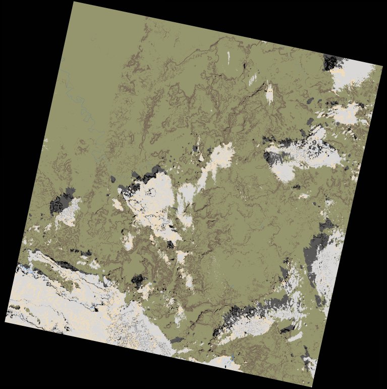
wofs_ls_202052_2021-12-13.stac-item
dataset of product wofs_ls
Indexed by odc_writer
,
created
Region
202052
for
13th December 2021
Fields 🔗
cloud_cover
13.73
collection_category
T1
creation_time
2023-05-04 23:11:38
crs_raw
•
data_coverage
•
dataset_version
1.0.0
eo_gsd
30.0
eo_sun_azimuth
146.293
eo_sun_elevation
48.213
format
GeoTIFF
id
2e470dbe-5824-5088-8cbc-c3f83193cb86
instrument
OLI_TIRS
label
•
lat
10.518 to 12.607
lon
-13.686 to -11.638
platform
landsat-9
product_family
wofs
region
•
region_code
202052
rmse
5.984
rmse_x
4.439
rmse_y
4.012
sat_orbit_state
•
sat_relative_orbit
•
time
2021-12-13 11:10:02 to 2021-12-13 11:10:02
Related Datasets 🔗
wofs_ls_202052_2021-12-13.stac-item