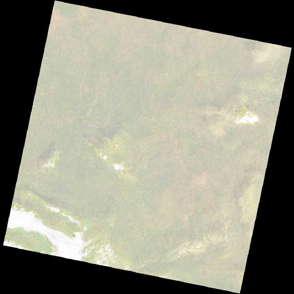
LC09_L2SP_202052_20211213_20230504_02_T1_SR_stac
dataset of product ls9_sr
Indexed by odc_writer
,
created
Region
202052
for
13th December 2021
Fields 🔗
cloud_cover
13.73
collection_category
T1
creation_time
2021-12-13 11:10:02
crs_raw
•
data_coverage
•
dataset_version
•
eo_gsd
•
eo_sun_azimuth
146.293
eo_sun_elevation
48.213
format
GeoTIFF
id
27ace9d7-3aa8-5d78-aa15-cd9f7862b7aa
instrument
OLI_TIRS
label
•
lat
10.518 to 12.607
lon
-13.686 to -11.638
platform
LANDSAT_9
product_family
•
region
•
region_code
202052
rmse
5.984
rmse_x
4.439
rmse_y
4.012
sat_orbit_state
•
sat_relative_orbit
•
time
2021-12-13 11:10:02 to 2021-12-13 11:10:02
Related Datasets 🔗
LC09_L2SP_202052_20211213_20230504_02_T1_SR_stac