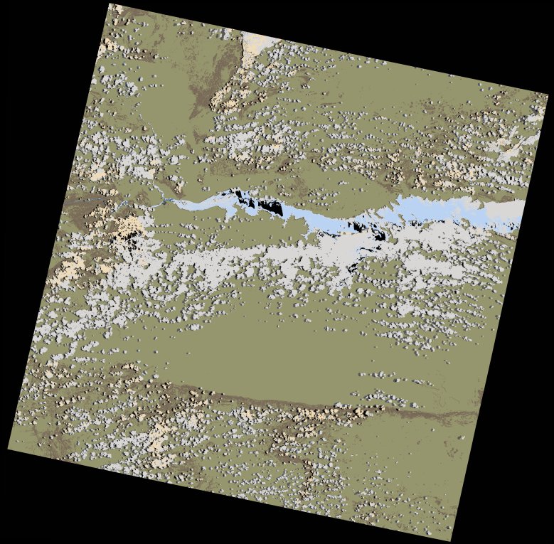
wofs_ls_170071_2022-10-29.stac-item
dataset of product wofs_ls
Indexed by odc_writer
,
created
Region
170071
for
29th October 2022
Fields 🔗
cloud_cover
19.62
collection_category
T1
creation_time
2023-03-24 00:14:58
crs_raw
•
data_coverage
•
dataset_version
1.0.0
eo_gsd
30.0
eo_sun_azimuth
87.622
eo_sun_elevation
65.63
format
GeoTIFF
id
fa7ac233-01e1-5e16-b2af-15a708699e56
instrument
OLI_TIRS
label
•
lat
-16.948 to -14.859
lon
29.805 to 31.902
platform
landsat-9
product_family
wofs
region
•
region_code
170071
rmse
7.913
rmse_x
4.841
rmse_y
6.259
sat_orbit_state
•
sat_relative_orbit
•
time
2022-10-29 07:59:58 to 2022-10-29 07:59:58
Related Datasets 🔗
wofs_ls_170071_2022-10-29.stac-item