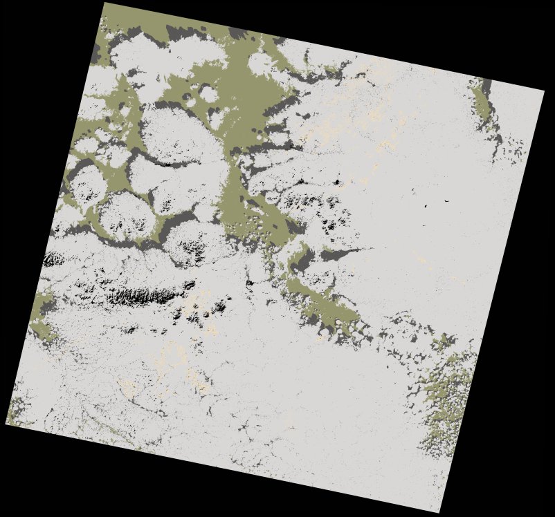
wofs_ls_204043_2022-01-20.stac-item
dataset of product wofs_ls
Indexed by odc_writer
,
created
Region
204043
for
20th January 2022
Fields 🔗
cloud_cover
74.34
collection_category
T2
creation_time
2022-01-28 00:14:32
crs_raw
•
data_coverage
•
dataset_version
1.0.0
eo_gsd
30.0
eo_sun_azimuth
148.327
eo_sun_elevation
38.779
format
GeoTIFF
id
da9e979d-2c71-5b6a-9d8e-16b41b42dda8
instrument
OLI_TIRS
label
•
lat
23.501 to 25.596
lon
-13.871 to -11.661
platform
landsat-8
product_family
wofs
region
•
region_code
204043
rmse
nan
rmse_x
nan
rmse_y
nan
sat_orbit_state
•
sat_relative_orbit
•
time
2022-01-20 11:18:41 to 2022-01-20 11:18:41
Related Datasets 🔗
wofs_ls_204043_2022-01-20.stac-item