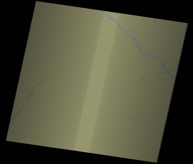
wofs_ls_192052_2017-01-10.stac-item
dataset of product wofs_ls
Indexed by odc_writer
,
created
Region
192052
for
10th January 2017
Fields 🔗
cloud_cover
0.0
collection_category
T1
creation_time
2021-09-01 02:52:59
crs_raw
•
data_coverage
•
dataset_version
1.0.0
eo_gsd
30.0
eo_sun_azimuth
142.008
eo_sun_elevation
47.578
format
GeoTIFF
id
c6b62442-de9b-5190-8abb-a6b91fd4785f
instrument
ETM
label
•
lat
10.635 to 12.506
lon
1.738 to 3.841
platform
landsat-7
product_family
wofs
region
•
region_code
192052
rmse
4.284
rmse_x
2.963
rmse_y
3.094
sat_orbit_state
•
sat_relative_orbit
•
time
2017-01-10 10:10:07 to 2017-01-10 10:10:07
Related Datasets 🔗
wofs_ls_192052_2017-01-10.stac-item