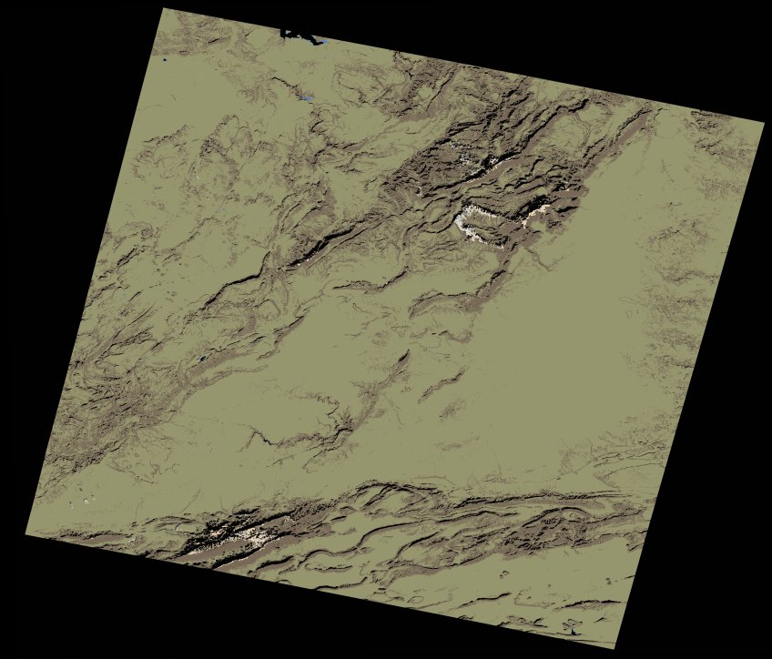
wofs_ls_200037_2021-12-31.stac-item
dataset of product wofs_ls
Indexed by odc_writer
,
created
Region
200037
for
31st December 2021
Fields 🔗
cloud_cover
0.16
collection_category
T1
creation_time
2023-05-03 10:59:39
crs_raw
•
data_coverage
•
dataset_version
1.0.0
eo_gsd
30.0
eo_sun_azimuth
156.335
eo_sun_elevation
29.9
format
GeoTIFF
id
b23b08cd-211f-57d1-9b3e-2274b99d0e65
instrument
OLI_TIRS
label
•
lat
32.119 to 34.22
lon
-5.578 to -3.159
platform
landsat-9
product_family
wofs
region
•
region_code
200037
rmse
5.433
rmse_x
3.474
rmse_y
4.178
sat_orbit_state
•
sat_relative_orbit
•
time
2021-12-31 10:51:40 to 2021-12-31 10:51:40
Related Datasets 🔗
wofs_ls_200037_2021-12-31.stac-item