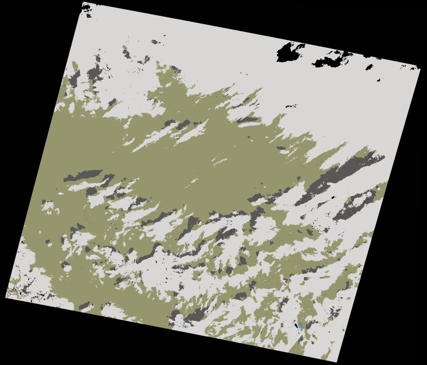
wofs_ls_194037_2024-02-29.stac-item
dataset of product wofs_ls
Indexed by odc_writer
,
created
Region
194037
for
29th February 2024
Fields 🔗
cloud_cover
29.32
collection_category
T1
creation_time
2024-03-12 08:57:32
crs_raw
•
data_coverage
•
dataset_version
1.0.0
eo_gsd
30.0
eo_sun_azimuth
145.698
eo_sun_elevation
42.897
format
GeoTIFF
id
47534de4-46df-557f-8dcb-fb37abbdd305
instrument
OLI_TIRS
label
•
lat
32.119 to 34.22
lon
3.666 to 6.09
platform
landsat-9
product_family
wofs
region
•
region_code
194037
rmse
7.762
rmse_x
5.847
rmse_y
5.105
sat_orbit_state
•
sat_relative_orbit
•
time
2024-02-29 10:14:27 to 2024-02-29 10:14:27
Related Datasets 🔗
wofs_ls_194037_2024-02-29.stac-item