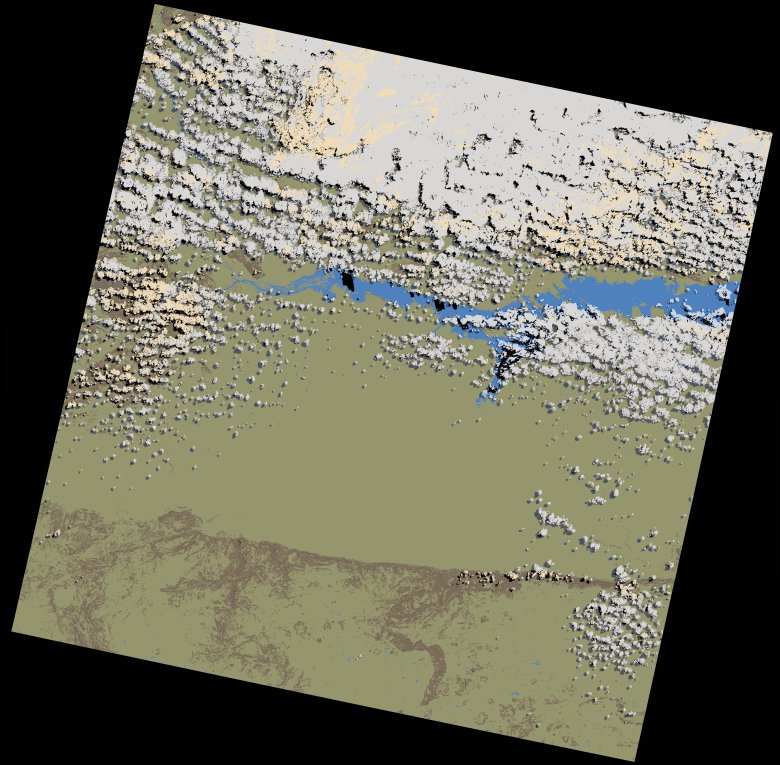
wofs_ls_170071_2023-08-29.stac-item
dataset of product wofs_ls
Indexed by odc_writer
,
created
Region
170071
for
29th August 2023
Fields 🔗
cloud_cover
27.98
collection_category
T1
creation_time
2023-09-24 17:38:57
crs_raw
•
data_coverage
•
dataset_version
1.0.0
eo_gsd
30.0
eo_sun_azimuth
51.129
eo_sun_elevation
51.312
format
GeoTIFF
id
39ae35ae-0f96-5237-b08f-7c7a495e2df2
instrument
OLI_TIRS
label
•
lat
-16.947 to -14.859
lon
29.796 to 31.894
platform
landsat-9
product_family
wofs
region
•
region_code
170071
rmse
5.725
rmse_x
3.963
rmse_y
4.132
sat_orbit_state
•
sat_relative_orbit
•
time
2023-08-29 07:59:27 to 2023-08-29 07:59:27
Related Datasets 🔗
wofs_ls_170071_2023-08-29.stac-item