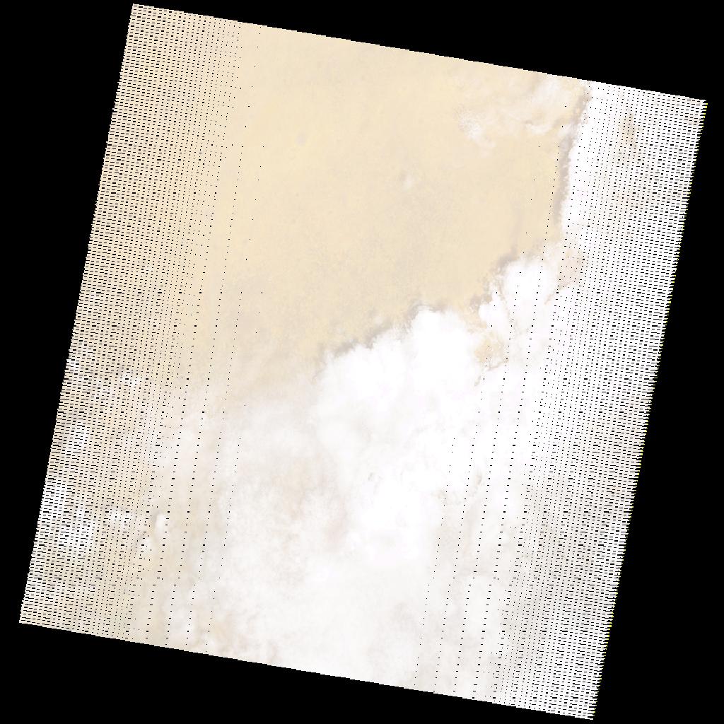
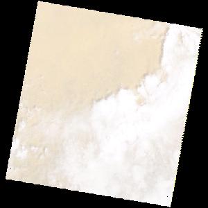
LE07_L2SP_176052_20181012_20200828_02_T1_SR_stac
dataset of product ls7_sr
Indexed by odc_writer
,
created
Region
176052
for
12th October 2018
Fields 🔗
cloud_cover
50.0
collection_category
T1
creation_time
2018-10-12 08:26:18
crs_raw
•
data_coverage
•
dataset_version
•
eo_gsd
•
eo_sun_azimuth
129.224
eo_sun_elevation
60.616
format
GeoTIFF
id
eefd06e7-815c-5b78-88fa-dd3a3df667f6
instrument
ETM
label
•
lat
10.634 to 12.506
lon
26.468 to 28.575
platform
LANDSAT_7
product_family
•
region
•
region_code
176052
rmse
4.002
rmse_x
2.554
rmse_y
3.081
sat_orbit_state
•
sat_relative_orbit
•
time
2018-10-12 08:26:18 to 2018-10-12 08:26:18
Related Datasets 🔗
LE07_L2SP_176052_20181012_20200828_02_T1_SR_stac