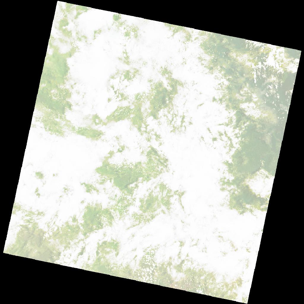
LC09_L2SP_171055_20230905_20230907_02_T2_SR_stac
dataset of product ls9_sr
Indexed by odc_writer
,
created
Region
171055
for
5th September 2023
Fields 🔗
cloud_cover
81.78
collection_category
T2
creation_time
2023-09-05 07:59:19
crs_raw
•
data_coverage
•
dataset_version
•
eo_gsd
•
eo_sun_azimuth
89.219
eo_sun_elevation
64.599
format
GeoTIFF
id
ff6bd4c7-2f89-5f4b-b14d-ee541df4f36a
instrument
OLI_TIRS
label
•
lat
6.183 to 8.271
lon
33.275 to 35.296
platform
LANDSAT_9
product_family
•
region
•
region_code
171055
rmse
nan
rmse_x
nan
rmse_y
nan
sat_orbit_state
•
sat_relative_orbit
•
time
2023-09-05 07:59:19 to 2023-09-05 07:59:19
Related Datasets 🔗
LC09_L2SP_171055_20230905_20230907_02_T2_SR_stac