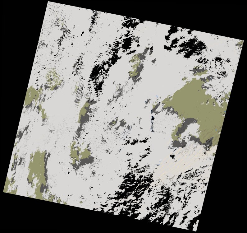
wofs_ls_200043_2021-11-19.stac-item
dataset of product wofs_ls
Indexed by odc_writer
,
created
Region
200043
for
19th November 2021
Fields 🔗
cloud_cover
75.93
collection_category
T1
creation_time
2023-05-06 03:29:58
crs_raw
•
data_coverage
•
dataset_version
1.0.0
eo_gsd
30.0
eo_sun_azimuth
154.979
eo_sun_elevation
41.977
format
GeoTIFF
id
fe9b204d-3fbb-56e7-8b81-2e84857626d9
instrument
OLI_TIRS
label
•
lat
23.499 to 25.594
lon
-7.127 to -4.934
platform
landsat-9
product_family
wofs
region
•
region_code
200043
rmse
8.201
rmse_x
6.092
rmse_y
5.49
sat_orbit_state
•
sat_relative_orbit
•
time
2021-11-19 10:51:35 to 2021-11-19 10:51:35
Related Datasets 🔗
wofs_ls_200043_2021-11-19.stac-item