Fields 🔗
cloud_cover
66.0
collection_category
T1
creation_time
2022-01-20 09:24:03
crs_raw
•
data_coverage
•
dataset_version
1.1.0
eo_gsd
30.0
eo_sun_azimuth
150.17
eo_sun_elevation
30.735
format
GeoTIFF
id
fe82d0d2-6e55-5617-ab3c-0e2b6ebba0e3
instrument
TM
label
•
lat
32.255 to 34.139
lon
-4.04 to -1.654
platform
landsat-5
product_family
fc
region
•
region_code
199037
rmse
10.174
rmse_x
7.008
rmse_y
7.375
sat_orbit_state
•
sat_relative_orbit
•
time
1989-11-22 10:09:10 to 1989-11-22 10:09:10
Related Datasets 🔗
Location 🔗
s3://deafrica-services/fc_ls/1-1-0/199/037/1989/11/22/fc_ls_199037_1989-11-22.stac-item.json
| bs | fc_ls_199037_1989-11-22_bs.tif |
|---|---|
| checksum:sha1 | fc_ls_199037_1989-11-22.sha1 |
| metadata:processor | fc_ls_199037_1989-11-22.proc-info.yaml |
| npv | fc_ls_199037_1989-11-22_npv.tif |
| pv | fc_ls_199037_1989-11-22_pv.tif |
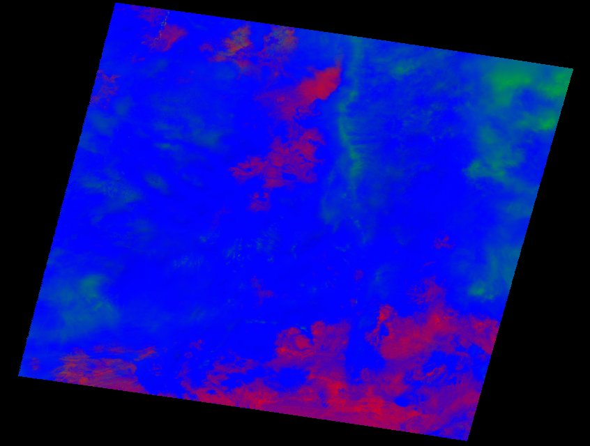
| thumbnail | fc_ls_199037_1989-11-22_thumbnail.jpg |
| ue | fc_ls_199037_1989-11-22_ue.tif |