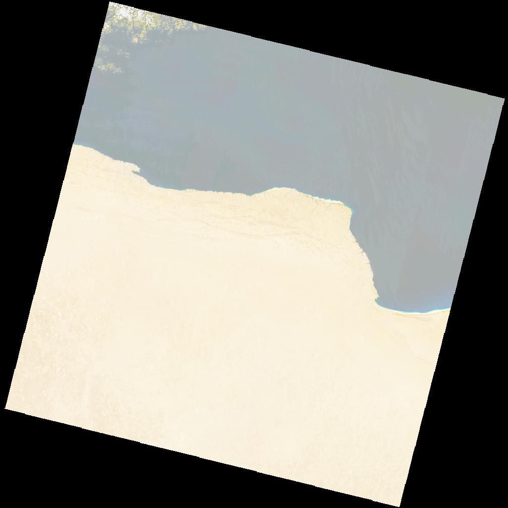
LC09_L2SP_181038_20211210_20230505_02_T1_SR_stac
dataset of product ls9_sr
Indexed by odc_writer
,
created
Region
181038
for
10th December 2021
Fields 🔗
cloud_cover
0.75
collection_category
T1
creation_time
2021-12-10 08:54:42
crs_raw
•
data_coverage
•
dataset_version
•
eo_gsd
•
eo_sun_azimuth
158.231
eo_sun_elevation
32.077
format
GeoTIFF
id
fdaeaa97-d718-5e14-931b-eea6e2facafe
instrument
OLI_TIRS
label
•
lat
30.685 to 32.785
lon
23.392 to 25.775
platform
LANDSAT_9
product_family
•
region
•
region_code
181038
rmse
5.985
rmse_x
3.775
rmse_y
4.644
sat_orbit_state
•
sat_relative_orbit
•
time
2021-12-10 08:54:42 to 2021-12-10 08:54:42
Related Datasets 🔗
LC09_L2SP_181038_20211210_20230505_02_T1_SR_stac