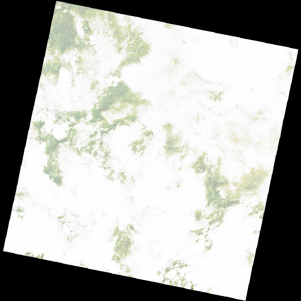
LC09_L2SP_170055_20221216_20221223_02_T2_SR_stac
dataset of product ls9_sr
Indexed by odc_writer
,
created
Region
170055
for
16th December 2022
Fields 🔗
cloud_cover
92.19
collection_category
T2
creation_time
2022-12-16 07:53:35
crs_raw
•
data_coverage
•
dataset_version
•
eo_gsd
•
eo_sun_azimuth
142.442
eo_sun_elevation
51.106
format
GeoTIFF
id
fcc21df8-f663-52af-86bb-0793321eb7b3
instrument
OLI_TIRS
label
•
lat
6.183 to 8.27
lon
34.832 to 36.852
platform
LANDSAT_9
product_family
•
region
•
region_code
170055
rmse
nan
rmse_x
nan
rmse_y
nan
sat_orbit_state
•
sat_relative_orbit
•
time
2022-12-16 07:53:35 to 2022-12-16 07:53:35
Related Datasets 🔗
LC09_L2SP_170055_20221216_20221223_02_T2_SR_stac