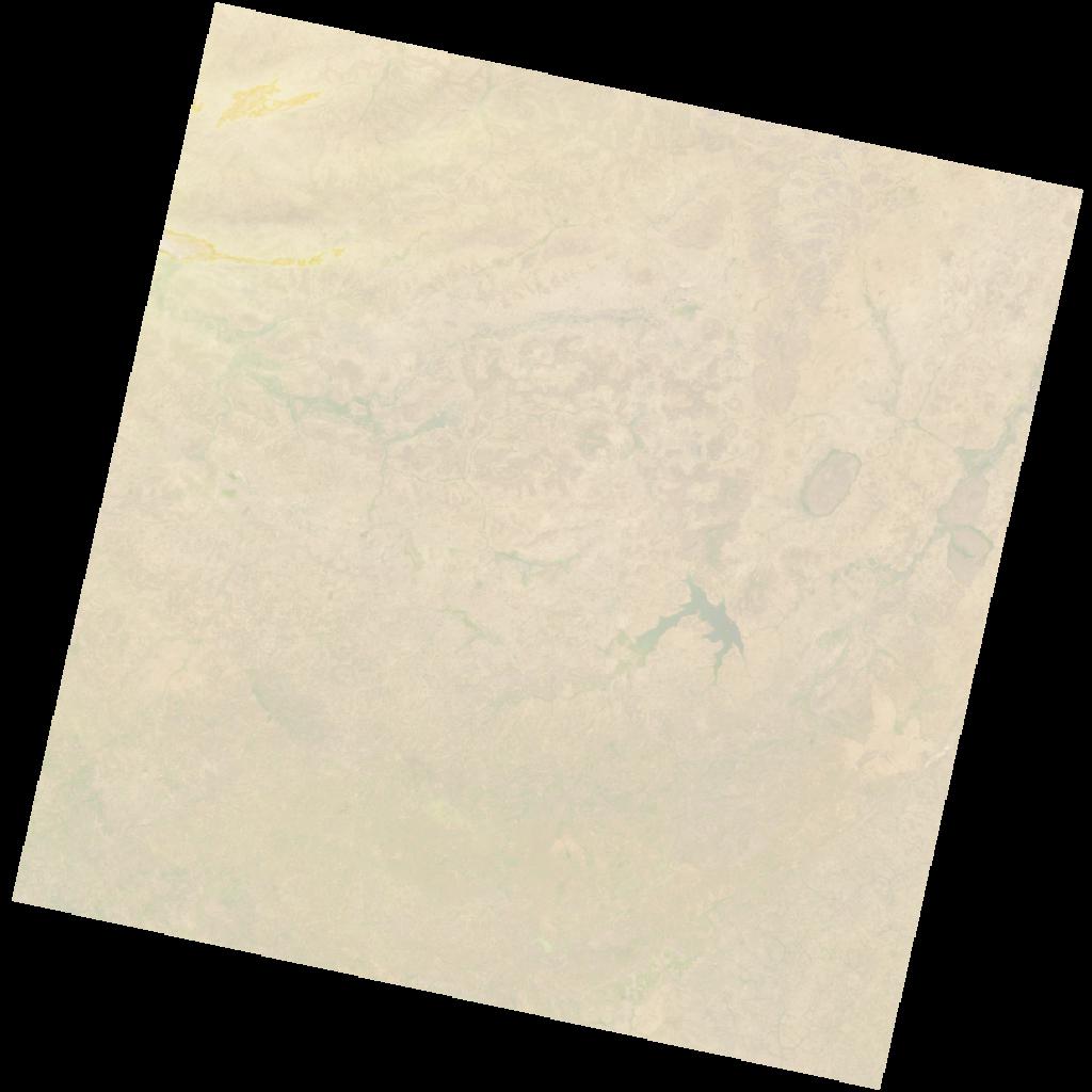
LC09_L2SP_197052_20211210_20230505_02_T1_SR_stac
dataset of product ls9_sr
Indexed by odc_writer
,
created
Region
197052
for
10th December 2021
Fields 🔗
cloud_cover
4.0
collection_category
T1
creation_time
2021-12-10 10:39:10
crs_raw
•
data_coverage
•
dataset_version
•
eo_gsd
•
eo_sun_azimuth
146.483
eo_sun_elevation
48.587
format
GeoTIFF
id
fc9e9abb-21ab-51fe-a3e7-4bf724c4cc1a
instrument
OLI_TIRS
label
•
lat
10.518 to 12.607
lon
-5.97 to -3.923
platform
LANDSAT_9
product_family
•
region
•
region_code
197052
rmse
5.651
rmse_x
3.839
rmse_y
4.146
sat_orbit_state
•
sat_relative_orbit
•
time
2021-12-10 10:39:10 to 2021-12-10 10:39:10
Related Datasets 🔗
LC09_L2SP_197052_20211210_20230505_02_T1_SR_stac