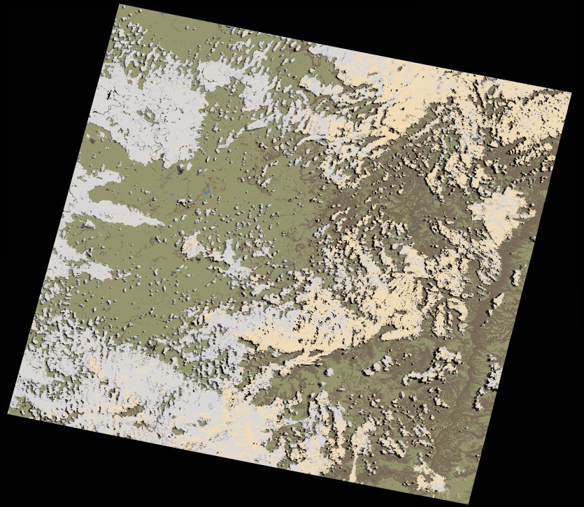
wofs_ls_170081_2022-10-29.stac-item
dataset of product wofs_ls
Indexed by odc_writer
,
created
Region
170081
for
29th October 2022
Fields 🔗
cloud_cover
38.71
collection_category
T1
creation_time
2023-03-24 00:15:21
crs_raw
•
data_coverage
•
dataset_version
1.0.0
eo_gsd
30.0
eo_sun_azimuth
62.535
eo_sun_elevation
59.538
format
GeoTIFF
id
fc50cc79-b7d9-5a0d-94e4-f7f089dfd50e
instrument
OLI_TIRS
label
•
lat
-31.355 to -29.26
lon
26.202 to 28.562
platform
landsat-9
product_family
wofs
region
•
region_code
170081
rmse
7.07
rmse_x
4.654
rmse_y
5.321
sat_orbit_state
•
sat_relative_orbit
•
time
2022-10-29 08:03:57 to 2022-10-29 08:03:57
Related Datasets 🔗
wofs_ls_170081_2022-10-29.stac-item