LC09_L2SP_176065_20211223_20230504_02_T1_SR_stac
dataset of product ls9_sr
Indexed by odc_writer
,
created
Region
176065
for
23rd December 2021
Fields 🔗
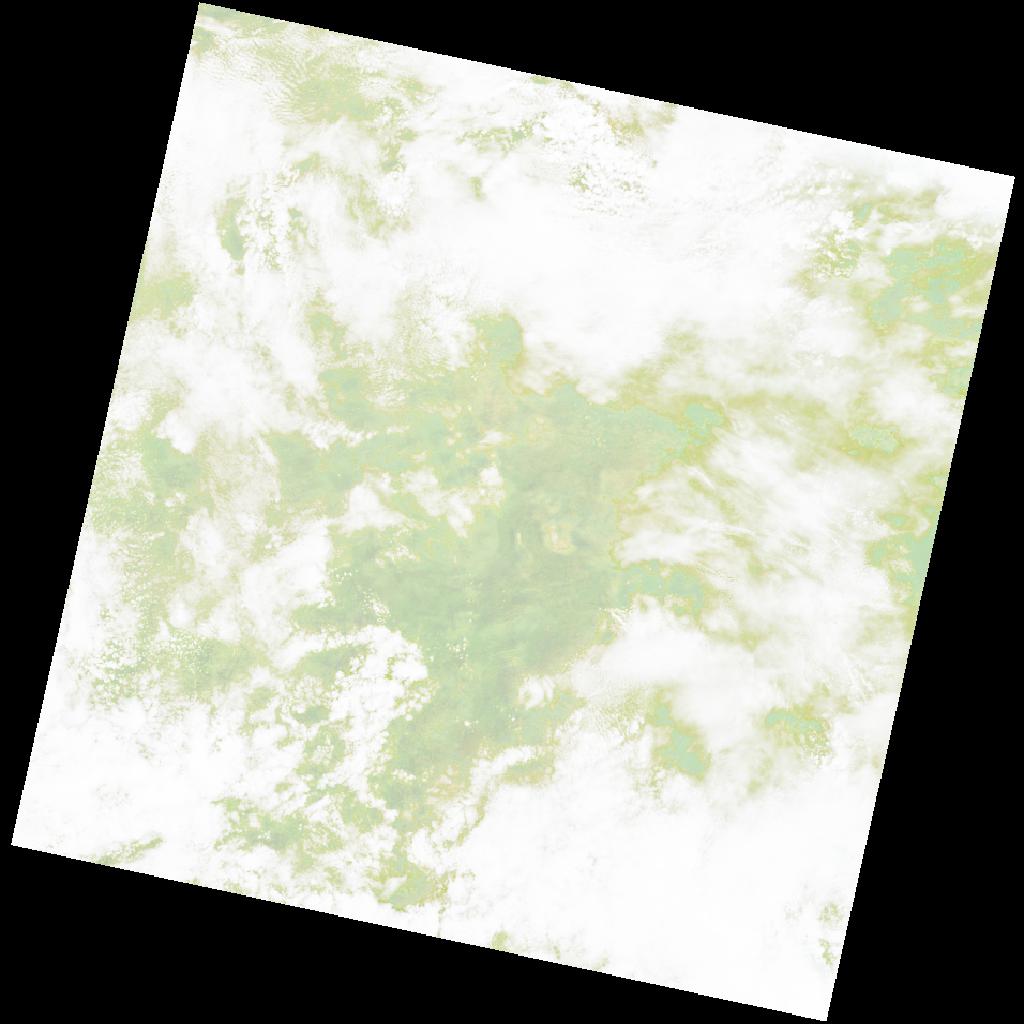
cloud_cover
94.61
collection_category
T1
creation_time
2021-12-23 08:34:30
crs_raw
•
data_coverage
•
dataset_version
•
eo_gsd
•
eo_sun_azimuth
124.448
eo_sun_elevation
58.909
format
GeoTIFF
id
fb6aa0ac-079b-5832-a6d5-dfcf66a9bfd8
instrument
OLI_TIRS
label
•
lat
-8.278 to -6.191
lon
22.477 to 24.502
platform
LANDSAT_9
product_family
•
region
•
region_code
176065
rmse
7.329
rmse_x
5.458
rmse_y
4.89
sat_orbit_state
•
sat_relative_orbit
•
time
2021-12-23 08:34:30 to 2021-12-23 08:34:30
Related Datasets 🔗
LC09_L2SP_176065_20211223_20230504_02_T1_SR_stac