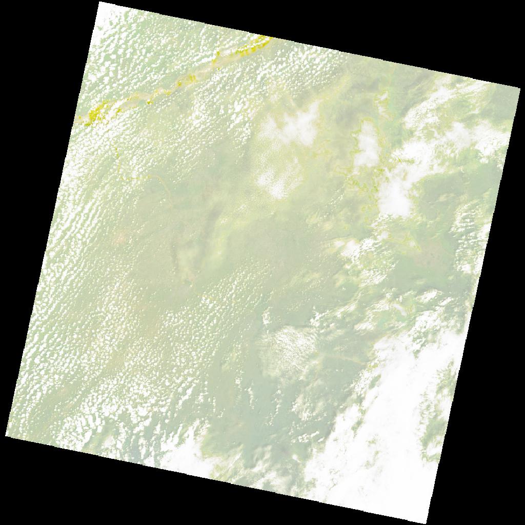
LC09_L2SP_187055_20221020_20221022_02_T1_SR_stac
dataset of product ls9_sr
Indexed by odc_writer
,
created
Region
187055
for
20th October 2022
Fields 🔗
cloud_cover
47.1
collection_category
T1
creation_time
2022-10-20 09:38:40
crs_raw
•
data_coverage
•
dataset_version
•
eo_gsd
•
eo_sun_azimuth
128.603
eo_sun_elevation
61.906
format
GeoTIFF
id
fb34465d-9a1e-562f-84a1-1f1067f34936
instrument
OLI_TIRS
label
•
lat
6.183 to 8.271
lon
8.552 to 10.575
platform
LANDSAT_9
product_family
•
region
•
region_code
187055
rmse
8.255
rmse_x
5.929
rmse_y
5.745
sat_orbit_state
•
sat_relative_orbit
•
time
2022-10-20 09:38:40 to 2022-10-20 09:38:40
Related Datasets 🔗
LC09_L2SP_187055_20221020_20221022_02_T1_SR_stac