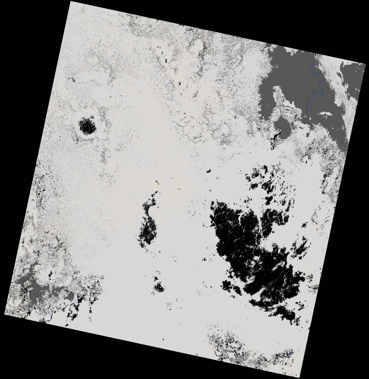
wofs_ls_177060_2024-01-21.stac-item
dataset of product wofs_ls
Indexed by odc_writer
,
created
Region
177060
for
21st January 2024
Fields 🔗
cloud_cover
92.41
collection_category
T1
creation_time
2024-02-23 05:37:27
crs_raw
•
data_coverage
•
dataset_version
1.0.0
eo_gsd
30.0
eo_sun_azimuth
126.329
eo_sun_elevation
54.772
format
GeoTIFF
id
fb33ab70-7c2b-5b05-a810-6ab0fc65e581
instrument
OLI_TIRS
label
•
lat
-1.048 to 1.039
lon
22.479 to 24.487
platform
landsat-9
product_family
wofs
region
•
region_code
177060
rmse
7.423
rmse_x
5.379
rmse_y
5.115
sat_orbit_state
•
sat_relative_orbit
•
time
2024-01-21 08:38:38 to 2024-01-21 08:38:38
Related Datasets 🔗
wofs_ls_177060_2024-01-21.stac-item