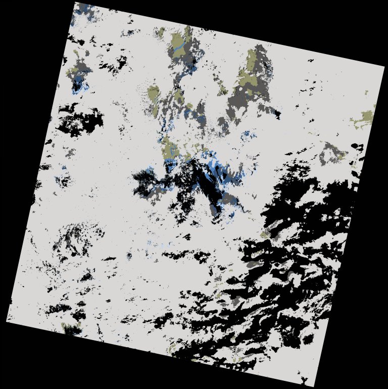
wofs_ls_204052_2022-12-30.stac-item
dataset of product wofs_ls
Indexed by odc_writer
,
created
Region
204052
for
30th December 2022
Fields 🔗
cloud_cover
82.29
collection_category
T2
creation_time
2023-01-01 23:29:56
crs_raw
•
data_coverage
•
dataset_version
1.0.0
eo_gsd
30.0
eo_sun_azimuth
144.08
eo_sun_elevation
47.101
format
GeoTIFF
id
fa550af3-f09e-5529-9dc2-2f8959106911
instrument
OLI_TIRS
label
•
lat
10.518 to 12.607
lon
-16.779 to -14.729
platform
landsat-9
product_family
wofs
region
•
region_code
204052
rmse
nan
rmse_x
nan
rmse_y
nan
sat_orbit_state
•
sat_relative_orbit
•
time
2022-12-30 11:22:31 to 2022-12-30 11:22:31
Related Datasets 🔗
wofs_ls_204052_2022-12-30.stac-item