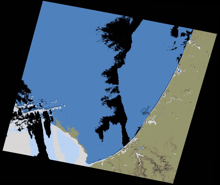
wofs_ls_202036_2022-01-30.stac-item
dataset of product wofs_ls
Indexed by odc_writer
,
created
Region
202036
for
30th January 2022
Fields 🔗
cloud_cover
11.05
collection_category
T1
creation_time
2023-04-30 00:59:16
crs_raw
•
data_coverage
•
dataset_version
1.0.0
eo_gsd
30.0
eo_sun_azimuth
151.953
eo_sun_elevation
32.833
format
GeoTIFF
id
f97adf25-44b2-551e-b6cc-65e85d9dd698
instrument
OLI_TIRS
label
•
lat
33.552 to 35.655
lon
-8.307 to -5.837
platform
landsat-9
product_family
wofs
region
•
region_code
202036
rmse
6.586
rmse_x
4.457
rmse_y
4.849
sat_orbit_state
•
sat_relative_orbit
•
time
2022-01-30 11:03:37 to 2022-01-30 11:03:37
Related Datasets 🔗
wofs_ls_202036_2022-01-30.stac-item