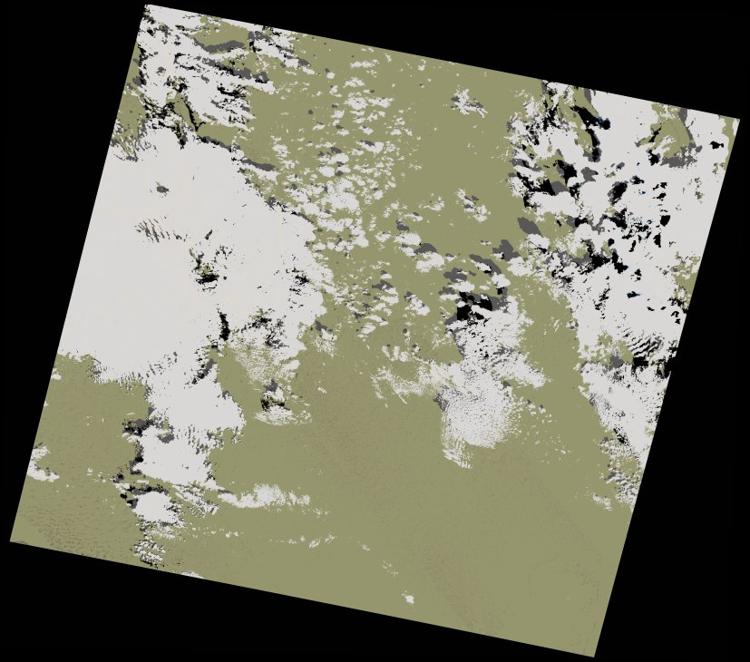
wofs_ls_197039_2023-02-15.stac-item
dataset of product wofs_ls
Indexed by odc_writer
,
created
Region
197039
for
15th February 2023
Fields 🔗
cloud_cover
26.35
collection_category
T1
creation_time
2023-03-10 08:13:40
crs_raw
•
data_coverage
•
dataset_version
1.0.0
eo_gsd
30.0
eo_sun_azimuth
146.414
eo_sun_elevation
40.459
format
GeoTIFF
id
f6747322-1d64-5490-8262-3900d69b717f
instrument
OLI_TIRS
label
•
lat
29.25 to 31.348
lon
-1.727 to 0.617
platform
landsat-9
product_family
wofs
region
•
region_code
197039
rmse
7.238
rmse_x
5.924
rmse_y
4.158
sat_orbit_state
•
sat_relative_orbit
•
time
2023-02-15 10:34:06 to 2023-02-15 10:34:06
Related Datasets 🔗
wofs_ls_197039_2023-02-15.stac-item