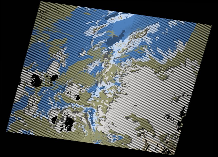
wofs_ls_202036_2021-02-28.stac-item
dataset of product wofs_ls
Indexed by odc_writer
,
created
Region
202036
for
28th February 2021
Fields 🔗
cloud_cover
34.0
collection_category
T1
creation_time
2021-09-01 04:42:46
crs_raw
•
data_coverage
•
dataset_version
1.0.0
eo_gsd
30.0
eo_sun_azimuth
134.301
eo_sun_elevation
35.664
format
GeoTIFF
id
f66173e5-a2a8-578a-b294-1d68082ec624
instrument
ETM
label
•
lat
33.68 to 35.575
lon
-8.459 to -5.914
platform
landsat-7
product_family
wofs
region
•
region_code
202036
rmse
4.549
rmse_x
2.939
rmse_y
3.472
sat_orbit_state
•
sat_relative_orbit
•
time
2021-02-28 10:17:33 to 2021-02-28 10:17:33
Related Datasets 🔗
wofs_ls_202036_2021-02-28.stac-item
... 4 more