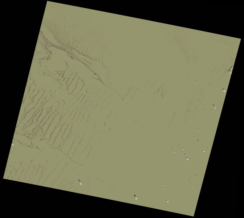
wofs_ls_197040_2021-12-10.stac-item
dataset of product wofs_ls
Indexed by odc_writer
,
created
Region
197040
for
10th December 2021
Fields 🔗
cloud_cover
0.04
collection_category
T1
creation_time
2023-05-05 07:04:12
crs_raw
•
data_coverage
•
dataset_version
1.0.0
eo_gsd
30.0
eo_sun_azimuth
156.934
eo_sun_elevation
34.542
format
GeoTIFF
id
f42b8685-0cc7-5e70-a772-9d71f6cabf0a
instrument
OLI_TIRS
label
•
lat
27.814 to 29.911
lon
-2.046 to 0.261
platform
landsat-9
product_family
wofs
region
•
region_code
197040
rmse
5.716
rmse_x
4.911
rmse_y
2.925
sat_orbit_state
•
sat_relative_orbit
•
time
2021-12-10 10:34:23 to 2021-12-10 10:34:23
Related Datasets 🔗
wofs_ls_197040_2021-12-10.stac-item