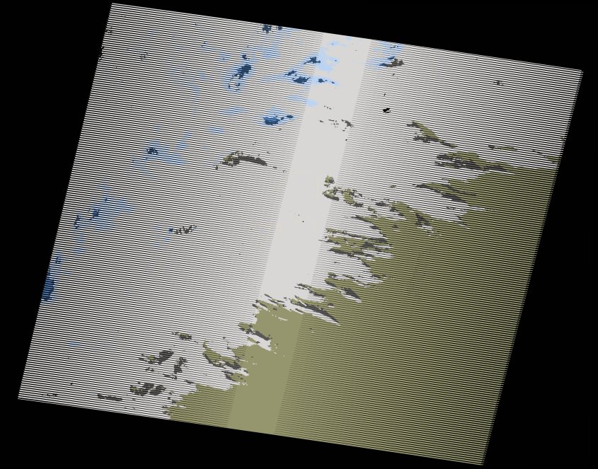
wofs_ls_205042_2017-01-05.stac-item
dataset of product wofs_ls
Indexed by odc_writer
,
created
Region
205042
for
5th January 2017
Fields 🔗
cloud_cover
64.0
collection_category
T1
creation_time
2021-09-01 02:33:54
crs_raw
•
data_coverage
•
dataset_version
1.0.0
eo_gsd
30.0
eo_sun_azimuth
152.54
eo_sun_elevation
36.287
format
GeoTIFF
id
f36ab14f-c068-5392-a448-9495fef87483
instrument
ETM
label
•
lat
25.055 to 26.934
lon
-15.128 to -12.826
platform
landsat-7
product_family
wofs
region
•
region_code
205042
rmse
4.629
rmse_x
3.174
rmse_y
3.37
sat_orbit_state
•
sat_relative_orbit
•
time
2017-01-05 11:26:31 to 2017-01-05 11:26:31
Related Datasets 🔗
wofs_ls_205042_2017-01-05.stac-item