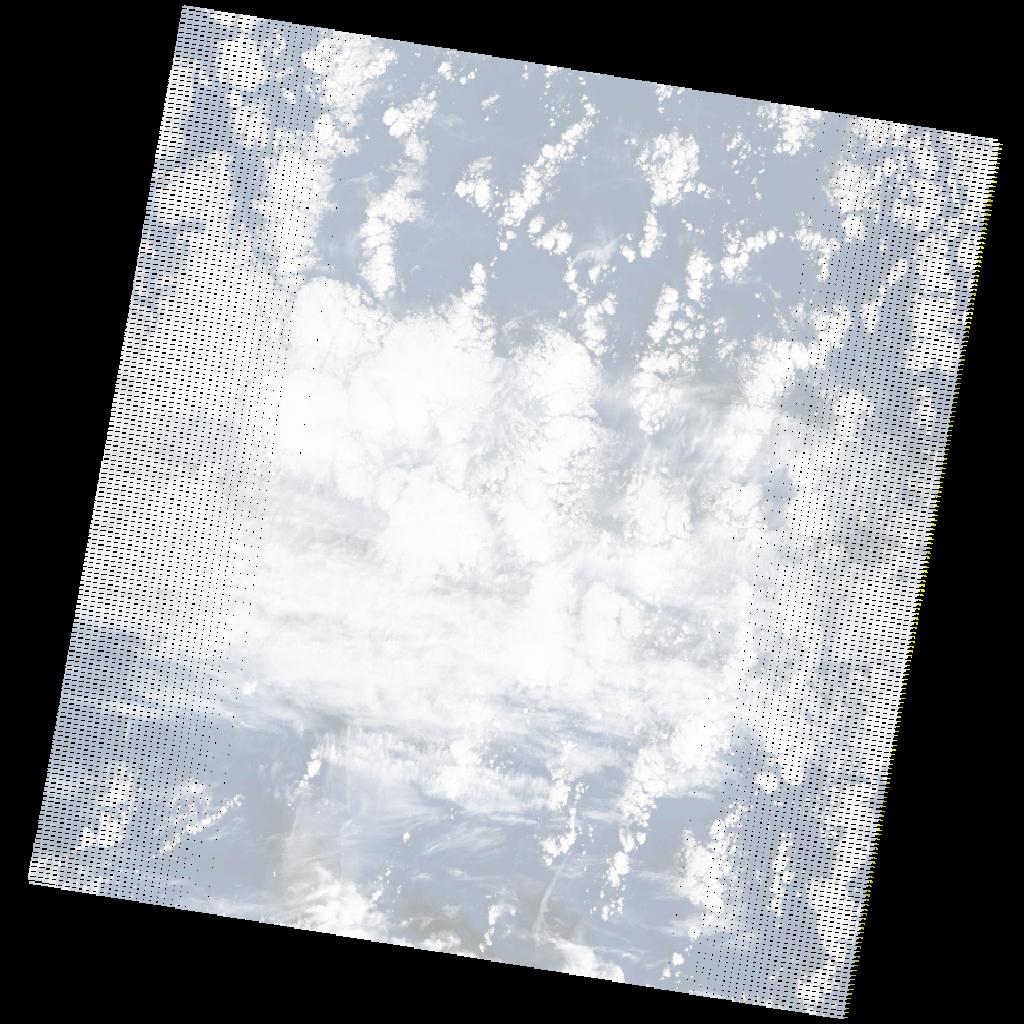
LE07_L2SP_205039_20211116_20211212_02_T2_SR_stac
dataset of product ls7_sr
Indexed by odc_writer
,
created
Region
205039
for
16th November 2021
Fields 🔗
cloud_cover
58.0
collection_category
T2
creation_time
2021-11-16 10:14:51
crs_raw
•
data_coverage
•
dataset_version
•
eo_gsd
•
eo_sun_azimuth
140.577
eo_sun_elevation
30.16
format
GeoTIFF
id
f2ff99eb-c780-5f27-aa28-8323d1c5f771
instrument
ETM
label
•
lat
29.384 to 31.268
lon
-14.171 to -11.751
platform
LANDSAT_7
product_family
•
region
•
region_code
205039
rmse
nan
rmse_x
nan
rmse_y
nan
sat_orbit_state
•
sat_relative_orbit
•
time
2021-11-16 10:14:51 to 2021-11-16 10:14:51
Related Datasets 🔗
LE07_L2SP_205039_20211116_20211212_02_T2_SR_stac