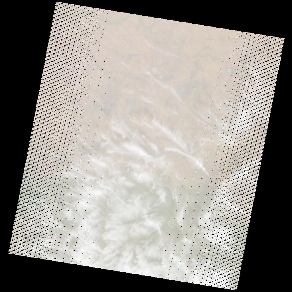
LE07_L2SP_179054_20031227_20200915_02_T1_SR_stac
dataset of product ls7_sr
Indexed by odc_writer
,
created
Region
179054
for
27th December 2003
Fields 🔗
cloud_cover
25.0
collection_category
T1
creation_time
2003-12-27 08:37:15
crs_raw
•
data_coverage
•
dataset_version
•
eo_gsd
•
eo_sun_azimuth
139.305
eo_sun_elevation
47.404
format
GeoTIFF
id
f2b13a6a-1533-55e1-b372-e96f973035f1
instrument
ETM
label
•
lat
7.74 to 9.622
lon
21.209 to 23.221
platform
LANDSAT_7
product_family
•
region
•
region_code
179054
rmse
4.347
rmse_x
2.973
rmse_y
3.172
sat_orbit_state
•
sat_relative_orbit
•
time
2003-12-27 08:37:15 to 2003-12-27 08:37:15
Related Datasets 🔗
LE07_L2SP_179054_20031227_20200915_02_T1_SR_stac