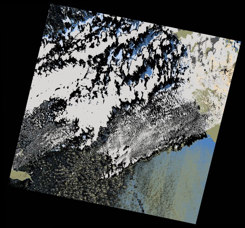
wofs_ls_172043_2022-01-28.stac-item
dataset of product wofs_ls
Indexed by odc_writer
,
created
Region
172043
for
28th January 2022
Fields 🔗
cloud_cover
30.03
collection_category
T1
creation_time
2023-04-30 07:30:53
crs_raw
•
data_coverage
•
dataset_version
1.0.0
eo_gsd
30.0
eo_sun_azimuth
146.551
eo_sun_elevation
40.168
format
GeoTIFF
id
f1c48db5-c4f1-5e6d-88b4-1cd438104f3a
instrument
OLI_TIRS
label
•
lat
23.5 to 25.593
lon
35.549 to 37.766
platform
landsat-9
product_family
wofs
region
•
region_code
172043
rmse
7.342
rmse_x
5.468
rmse_y
4.901
sat_orbit_state
•
sat_relative_orbit
•
time
2022-01-28 08:01:00 to 2022-01-28 08:01:00
Related Datasets 🔗
wofs_ls_172043_2022-01-28.stac-item