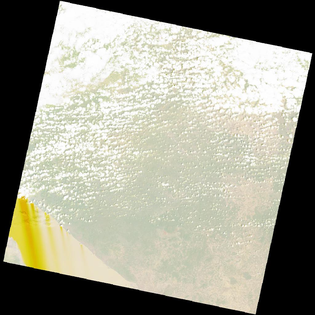
LC09_L2SP_170065_20211213_20220120_02_T1_SR_stac
dataset of product ls9_sr
Indexed by odc_writer
,
created
Region
170065
for
13th December 2021
Fields 🔗
cloud_cover
38.91
collection_category
T1
creation_time
2021-12-13 07:57:26
crs_raw
•
data_coverage
•
dataset_version
•
eo_gsd
•
eo_sun_azimuth
125.013
eo_sun_elevation
60.026
format
GeoTIFF
id
f15c4db6-1347-5612-996e-2a0946fe0d9c
instrument
OLI_TIRS
label
•
lat
-8.278 to -6.191
lon
31.744 to 33.767
platform
LANDSAT_9
product_family
•
region
•
region_code
170065
rmse
7.962
rmse_x
5.543
rmse_y
5.716
sat_orbit_state
•
sat_relative_orbit
•
time
2021-12-13 07:57:26 to 2021-12-13 07:57:26
Related Datasets 🔗
LC09_L2SP_170065_20211213_20220120_02_T1_SR_stac