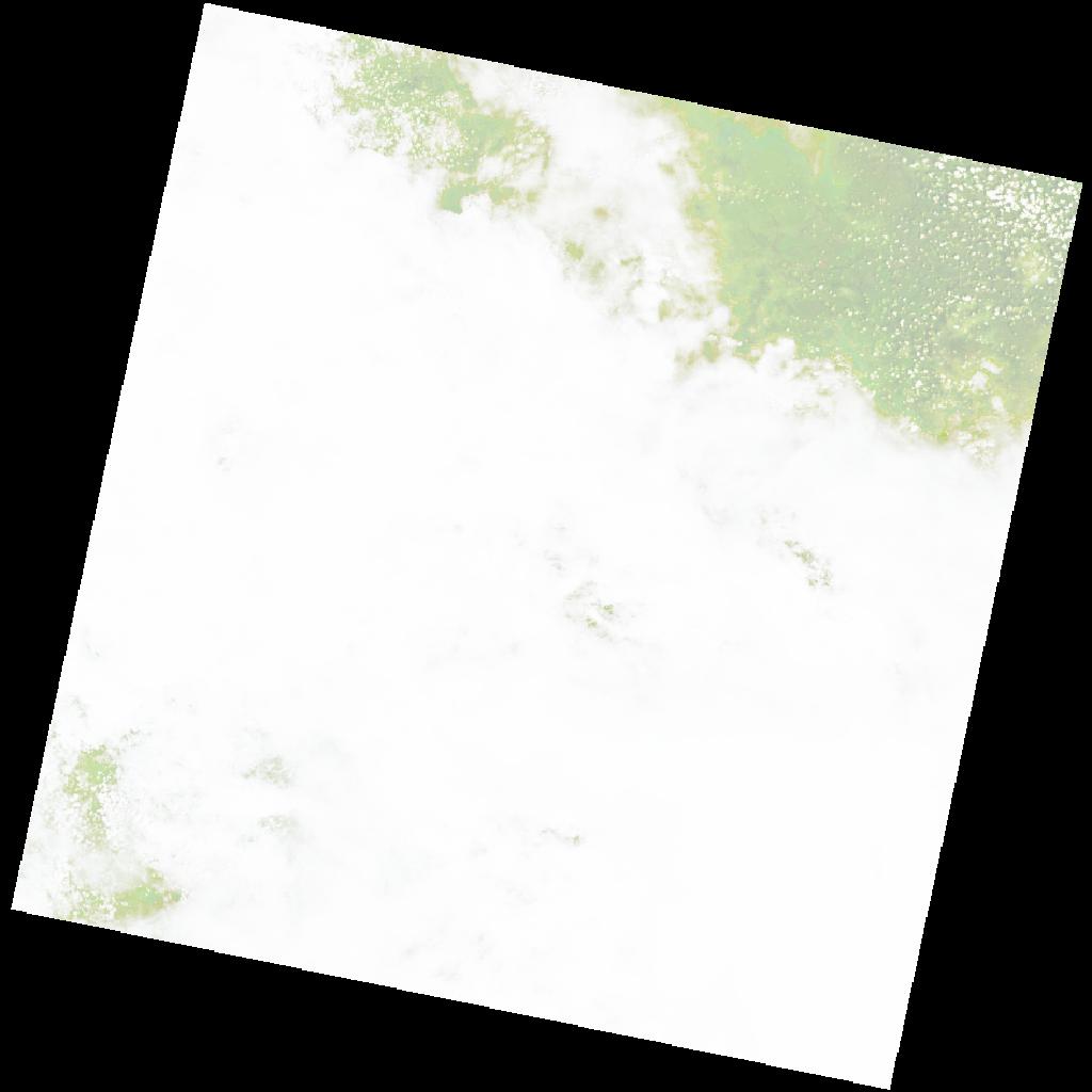
LC09_L2SP_175065_20221219_20230317_02_T2_SR_stac
dataset of product ls9_sr
Indexed by odc_writer
,
created
Region
175065
for
19th December 2022
Fields 🔗
cloud_cover
93.05
collection_category
T2
creation_time
2022-12-19 08:28:28
crs_raw
•
data_coverage
•
dataset_version
•
eo_gsd
•
eo_sun_azimuth
124.887
eo_sun_elevation
59.376
format
GeoTIFF
id
ef05fcee-c427-5cb1-b910-eec2edbd2a12
instrument
OLI_TIRS
label
•
lat
-8.278 to -6.191
lon
24.024 to 26.05
platform
LANDSAT_9
product_family
•
region
•
region_code
175065
rmse
nan
rmse_x
nan
rmse_y
nan
sat_orbit_state
•
sat_relative_orbit
•
time
2022-12-19 08:28:28 to 2022-12-19 08:28:28
Related Datasets 🔗
LC09_L2SP_175065_20221219_20230317_02_T2_SR_stac