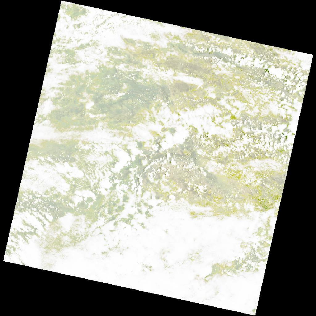
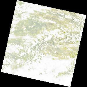
LC09_L2SP_176070_20230127_20230313_02_T1_SR_stac
dataset of product ls9_sr
Indexed by odc_writer
,
created
Region
176070
for
27th January 2023
Fields 🔗
cloud_cover
78.17
collection_category
T1
creation_time
2023-01-27 08:36:37
crs_raw
•
data_coverage
•
dataset_version
•
eo_gsd
•
eo_sun_azimuth
101.935
eo_sun_elevation
58.997
format
GeoTIFF
id
ed1f41aa-6473-5da8-bb56-647126c88965
instrument
OLI_TIRS
label
•
lat
-15.504 to -13.416
lon
20.862 to 22.943
platform
LANDSAT_9
product_family
•
region
•
region_code
176070
rmse
8.561
rmse_x
6.371
rmse_y
5.718
sat_orbit_state
•
sat_relative_orbit
•
time
2023-01-27 08:36:37 to 2023-01-27 08:36:37
Related Datasets 🔗
LC09_L2SP_176070_20230127_20230313_02_T1_SR_stac