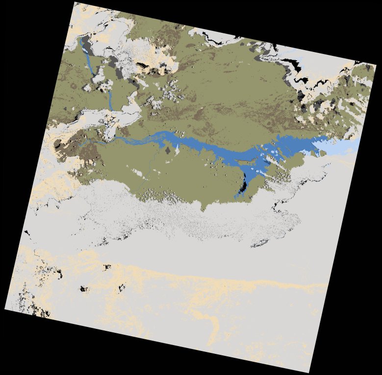
wofs_ls_170071_2023-02-10.stac-item
dataset of product wofs_ls
Indexed by odc_writer
,
created
Region
170071
for
10th February 2023
Fields 🔗
cloud_cover
60.39
collection_category
T1
creation_time
2023-02-17 22:01:27
crs_raw
•
data_coverage
•
dataset_version
1.0.0
eo_gsd
30.0
eo_sun_azimuth
91.744
eo_sun_elevation
58.401
format
GeoTIFF
id
ec368294-4e92-5e26-b324-d21b9099c77c
instrument
OLI_TIRS
label
•
lat
-16.946 to -14.857
lon
29.787 to 31.877
platform
landsat-8
product_family
wofs
region
•
region_code
170071
rmse
9.519
rmse_x
6.222
rmse_y
7.203
sat_orbit_state
•
sat_relative_orbit
•
time
2023-02-10 07:59:51 to 2023-02-10 07:59:51
Related Datasets 🔗
wofs_ls_170071_2023-02-10.stac-item