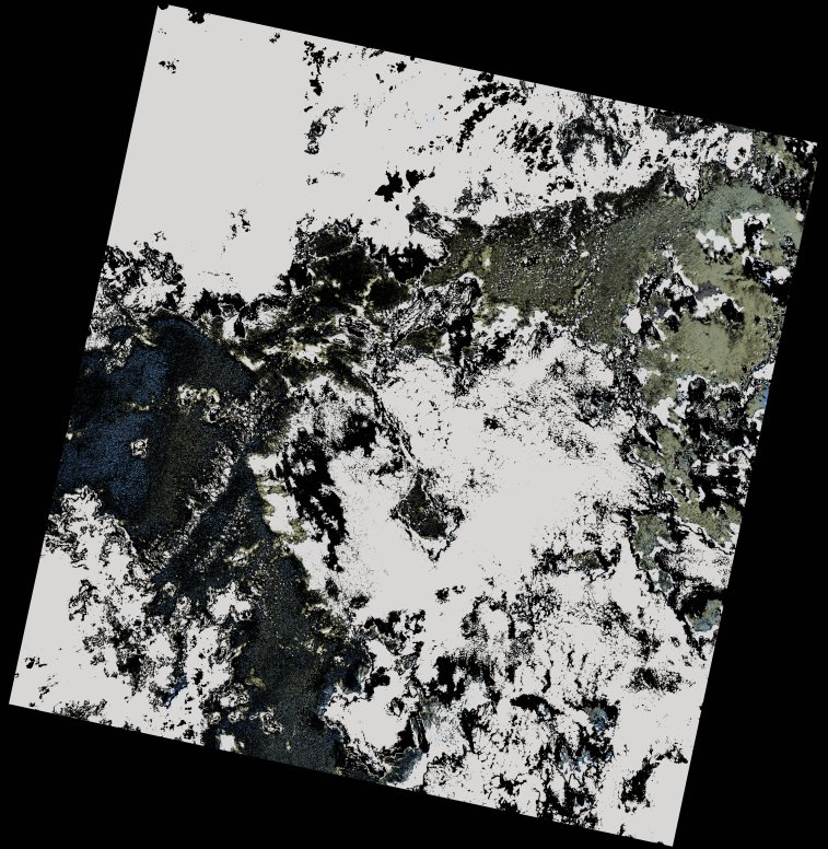
wofs_ls_156062_2021-12-11.stac-item
dataset of product wofs_ls
Indexed by odc_writer
,
created
Region
156062
for
11th December 2021
Fields 🔗
cloud_cover
65.09
collection_category
T2
creation_time
2022-02-14 23:49:01
crs_raw
•
data_coverage
•
dataset_version
1.0.0
eo_gsd
30.0
eo_sun_azimuth
131.278
eo_sun_elevation
58.101
format
GeoTIFF
id
eae490d9-c174-5061-be3e-96ae7e050db0
instrument
OLI_TIRS
label
•
lat
-3.94 to -1.853
lon
54.302 to 56.313
platform
landsat-9
product_family
wofs
region
•
region_code
156062
rmse
nan
rmse_x
nan
rmse_y
nan
sat_orbit_state
•
sat_relative_orbit
•
time
2021-12-11 06:29:45 to 2021-12-11 06:29:45
Related Datasets 🔗
wofs_ls_156062_2021-12-11.stac-item