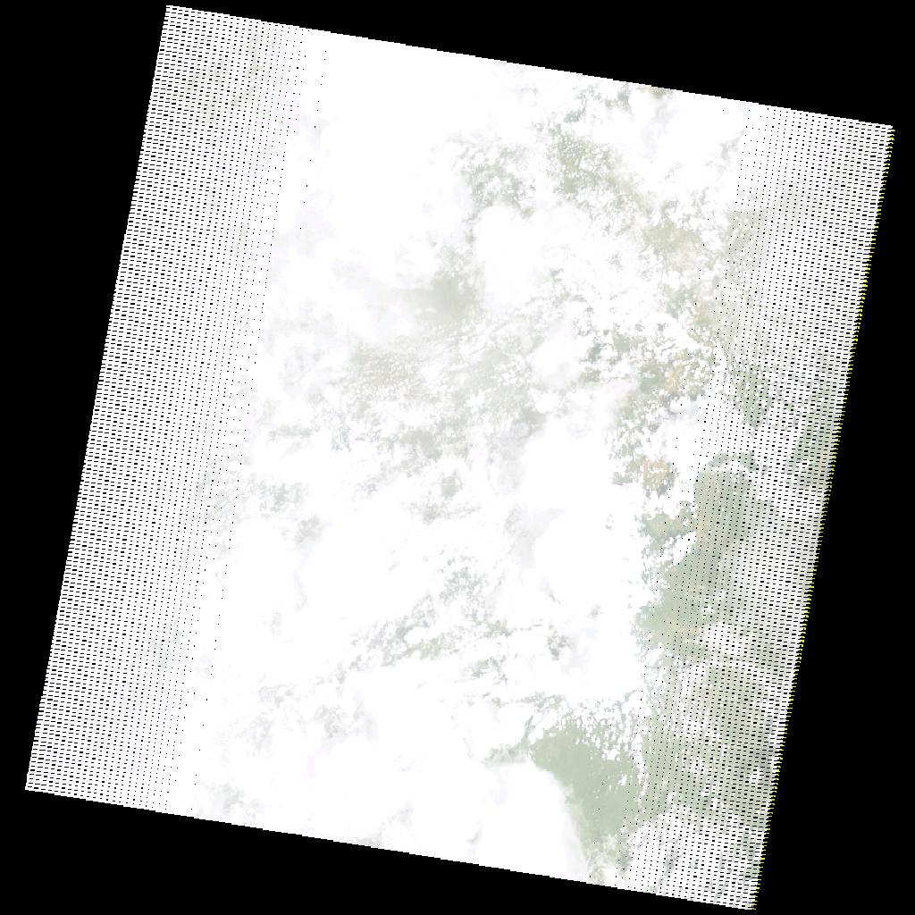
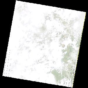
LE07_L2SP_170067_20201226_20210121_02_T1_SR_stac
dataset of product ls7_sr
Indexed by odc_writer
,
created
Region
170067
for
26th December 2020
Fields 🔗
cloud_cover
89.0
collection_category
T1
creation_time
2020-12-26 07:16:49
crs_raw
•
data_coverage
•
dataset_version
•
eo_gsd
•
eo_sun_azimuth
114.666
eo_sun_elevation
50.728
format
GeoTIFF
id
e9dfba5d-07e4-5199-a831-5759677fe2f5
instrument
ETM
label
•
lat
-11.057 to -9.189
lon
31.121 to 33.231
platform
LANDSAT_7
product_family
•
region
•
region_code
170067
rmse
10.727
rmse_x
10.27
rmse_y
3.097
sat_orbit_state
•
sat_relative_orbit
•
time
2020-12-26 07:16:49 to 2020-12-26 07:16:49
Related Datasets 🔗
LE07_L2SP_170067_20201226_20210121_02_T1_SR_stac