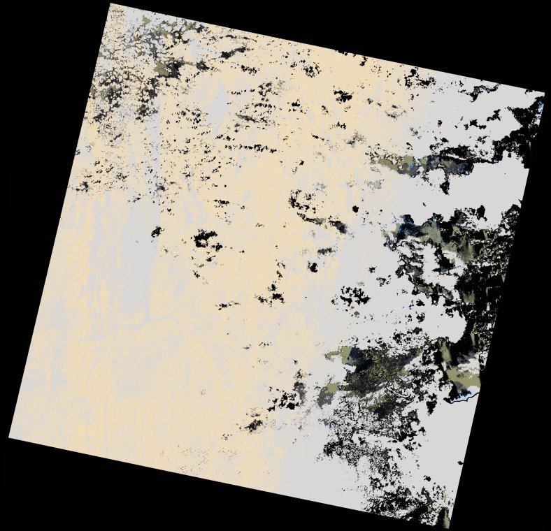
wofs_ls_158073_2022-12-12.stac-item
dataset of product wofs_ls
Indexed by odc_writer
,
created
Region
158073
for
12th December 2022
Fields 🔗
cloud_cover
85.77
collection_category
T2
creation_time
2022-12-14 14:03:42
crs_raw
•
data_coverage
•
dataset_version
1.0.0
eo_gsd
30.0
eo_sun_azimuth
104.224
eo_sun_elevation
63.552
format
GeoTIFF
id
e938a56c-06ec-5c58-92ff-8f709a2403fd
instrument
OLI_TIRS
label
•
lat
-19.834 to -17.745
lon
47.678 to 49.813
platform
landsat-9
product_family
wofs
region
•
region_code
158073
rmse
nan
rmse_x
nan
rmse_y
nan
sat_orbit_state
•
sat_relative_orbit
•
time
2022-12-12 06:46:37 to 2022-12-12 06:46:37
Related Datasets 🔗
wofs_ls_158073_2022-12-12.stac-item