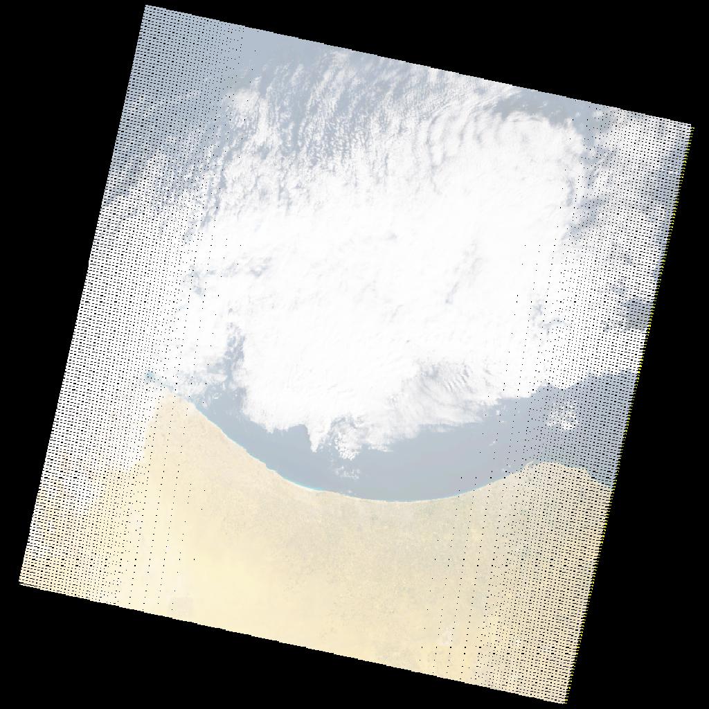
LE07_L2SP_189037_20201231_20210126_02_T1_SR_stac
dataset of product ls7_sr
Indexed by odc_writer
,
created
Region
189037
for
31st December 2020
Fields 🔗
cloud_cover
49.0
collection_category
T1
creation_time
2020-12-31 09:01:56
crs_raw
•
data_coverage
•
dataset_version
•
eo_gsd
•
eo_sun_azimuth
146.443
eo_sun_elevation
25.668
format
GeoTIFF
id
e88956de-2be1-5252-a9f6-74b935094df2
instrument
ETM
label
•
lat
32.245 to 34.137
lon
11.286 to 13.787
platform
LANDSAT_7
product_family
•
region
•
region_code
189037
rmse
4.36
rmse_x
2.715
rmse_y
3.411
sat_orbit_state
•
sat_relative_orbit
•
time
2020-12-31 09:01:56 to 2020-12-31 09:01:56
Related Datasets 🔗
LE07_L2SP_189037_20201231_20210126_02_T1_SR_stac