Fields 🔗
cloud_cover
6.0
collection_category
T1
creation_time
2022-01-21 02:24:17
crs_raw
•
data_coverage
•
dataset_version
1.1.0
eo_gsd
30.0
eo_sun_azimuth
148.858
eo_sun_elevation
31.718
format
GeoTIFF
id
e80298e0-36e1-51f6-957f-1d8de87e3f3e
instrument
TM
label
•
lat
29.354 to 31.231
lon
29.176 to 31.488
platform
landsat-5
product_family
fc
region
•
region_code
177039
rmse
10.931
rmse_x
7.633
rmse_y
7.825
sat_orbit_state
•
sat_relative_orbit
•
time
1989-11-28 07:53:58 to 1989-11-28 07:53:58
Related Datasets 🔗
Location 🔗
s3://deafrica-services/fc_ls/1-1-0/177/039/1989/11/28/fc_ls_177039_1989-11-28.stac-item.json
| bs | fc_ls_177039_1989-11-28_bs.tif |
|---|---|
| checksum:sha1 | fc_ls_177039_1989-11-28.sha1 |
| metadata:processor | fc_ls_177039_1989-11-28.proc-info.yaml |
| npv | fc_ls_177039_1989-11-28_npv.tif |
| pv | fc_ls_177039_1989-11-28_pv.tif |
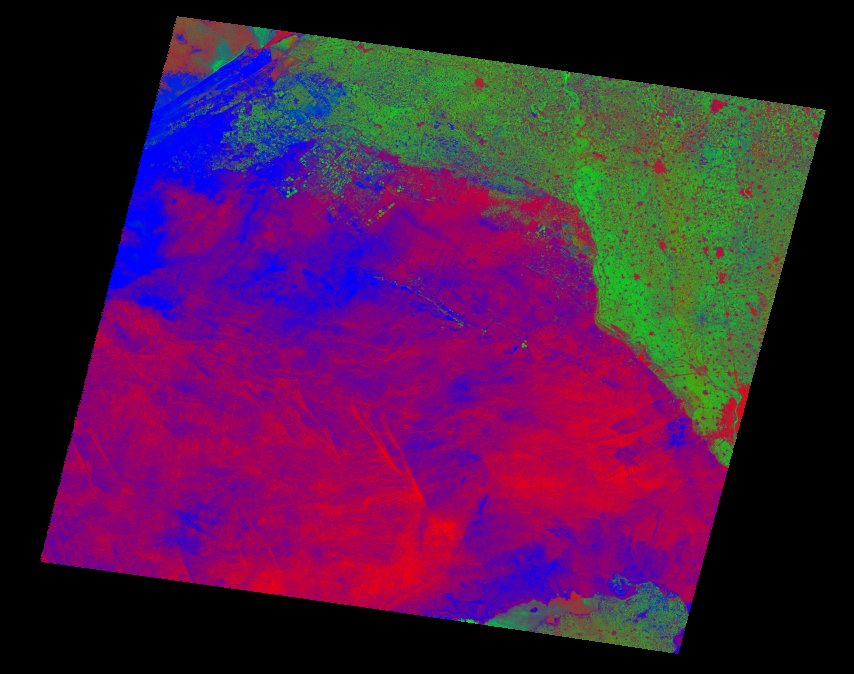
| thumbnail | fc_ls_177039_1989-11-28_thumbnail.jpg |
| ue | fc_ls_177039_1989-11-28_ue.tif |