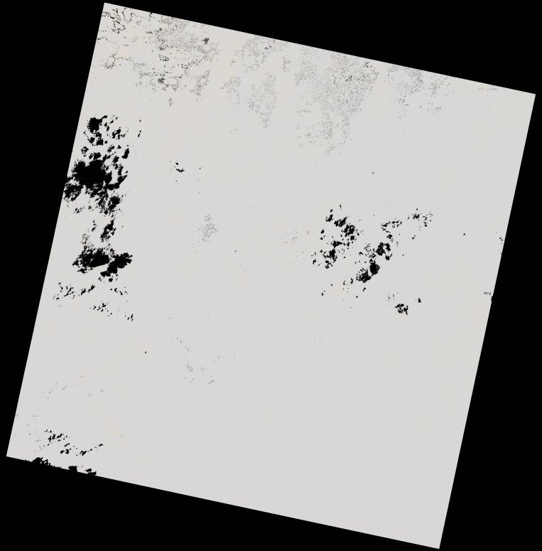
wofs_ls_177065_2021-12-30.stac-item
dataset of product wofs_ls
Indexed by odc_writer
,
created
Region
177065
for
30th December 2021
Fields 🔗
cloud_cover
99.91
collection_category
T2
creation_time
2022-02-14 23:24:15
crs_raw
•
data_coverage
•
dataset_version
1.0.0
eo_gsd
30.0
eo_sun_azimuth
123.286
eo_sun_elevation
58.325
format
GeoTIFF
id
e39e3eae-15f0-5e27-ab58-eca14305c94b
instrument
OLI_TIRS
label
•
lat
-8.278 to -6.191
lon
20.932 to 22.957
platform
landsat-9
product_family
wofs
region
•
region_code
177065
rmse
nan
rmse_x
nan
rmse_y
nan
sat_orbit_state
•
sat_relative_orbit
•
time
2021-12-30 08:40:41 to 2021-12-30 08:40:41
Related Datasets 🔗
wofs_ls_177065_2021-12-30.stac-item