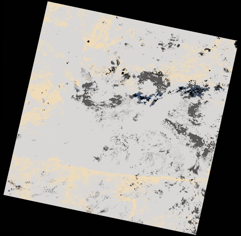
wofs_ls_170071_2024-01-20.stac-item
dataset of product wofs_ls
Indexed by odc_writer
,
created
Region
170071
for
20th January 2024
Fields 🔗
cloud_cover
94.35
collection_category
T2
creation_time
2024-02-23 05:35:46
crs_raw
•
data_coverage
•
dataset_version
1.0.0
eo_gsd
30.0
eo_sun_azimuth
102.932
eo_sun_elevation
59.414
format
GeoTIFF
id
e18e6c3e-0f6a-5bca-a746-b41c9822578b
instrument
OLI_TIRS
label
•
lat
-16.948 to -14.86
lon
29.807 to 31.904
platform
landsat-9
product_family
wofs
region
•
region_code
170071
rmse
nan
rmse_x
nan
rmse_y
nan
sat_orbit_state
•
sat_relative_orbit
•
time
2024-01-20 07:59:47 to 2024-01-20 07:59:47
Related Datasets 🔗
wofs_ls_170071_2024-01-20.stac-item