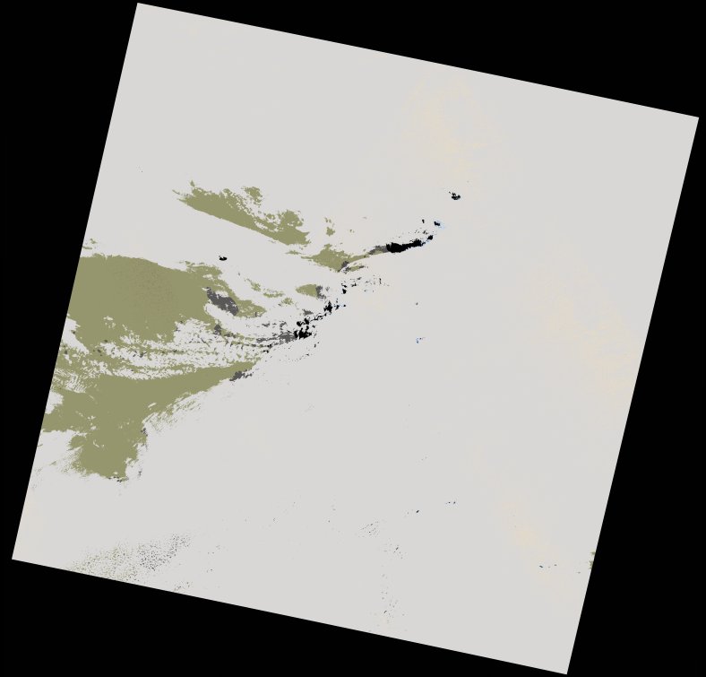
wofs_ls_197046_2021-12-10.stac-item
dataset of product wofs_ls
Indexed by odc_writer
,
created
Region
197046
for
10th December 2021
Fields 🔗
cloud_cover
66.28
collection_category
T1
creation_time
2022-02-14 23:48:59
crs_raw
•
data_coverage
•
dataset_version
1.0.0
eo_gsd
30.0
eo_sun_azimuth
152.421
eo_sun_elevation
41.773
format
GeoTIFF
id
deab1cb2-65a9-5bd0-80cc-19417be79398
instrument
OLI_TIRS
label
•
lat
19.178 to 21.27
lon
-4.07 to -1.927
platform
landsat-9
product_family
wofs
region
•
region_code
197046
rmse
7.441
rmse_x
5.28
rmse_y
5.243
sat_orbit_state
•
sat_relative_orbit
•
time
2021-12-10 10:36:46 to 2021-12-10 10:36:46
Related Datasets 🔗
wofs_ls_197046_2021-12-10.stac-item