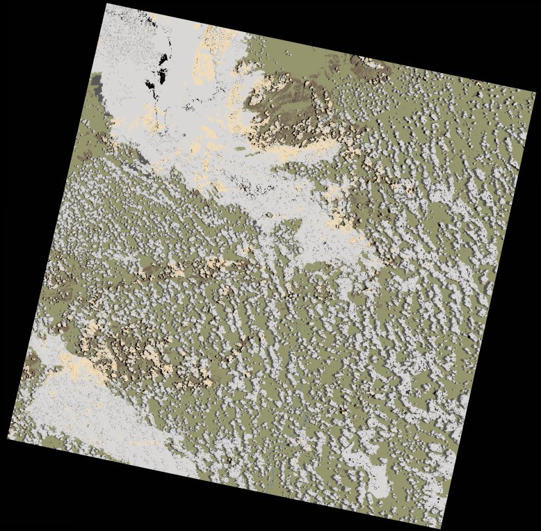
wofs_ls_166071_2024-02-09.stac-item
dataset of product wofs_ls
Indexed by odc_writer
,
created
Region
166071
for
9th February 2024
Fields 🔗
cloud_cover
31.18
collection_category
T1
creation_time
2024-02-13 06:44:26
crs_raw
•
data_coverage
•
dataset_version
1.0.0
eo_gsd
30.0
eo_sun_azimuth
92.513
eo_sun_elevation
58.436
format
GeoTIFF
id
de2c3015-3fd4-5a16-b807-5c2fa8fcd0f5
instrument
OLI_TIRS
label
•
lat
-16.948 to -14.859
lon
35.961 to 38.059
platform
landsat-9
product_family
wofs
region
•
region_code
166071
rmse
8.772
rmse_x
5.582
rmse_y
6.767
sat_orbit_state
•
sat_relative_orbit
•
time
2024-02-09 07:35:07 to 2024-02-09 07:35:07
Related Datasets 🔗
wofs_ls_166071_2024-02-09.stac-item