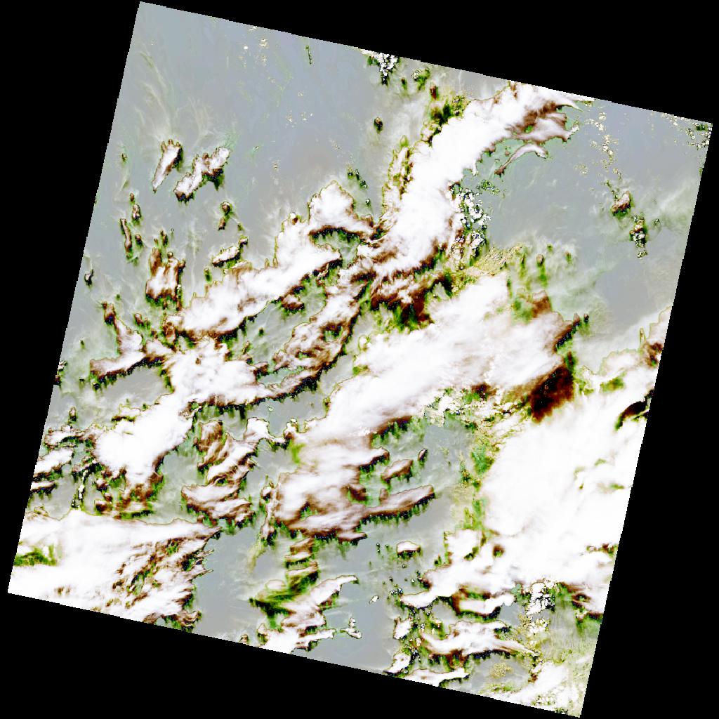
LC09_L2SP_179037_20211212_20230505_02_T2_SR_stac
dataset of product ls9_sr
Indexed by odc_writer
,
created
Region
179037
for
12th December 2021
Fields 🔗
cloud_cover
65.72
collection_category
T2
creation_time
2021-12-12 08:41:55
crs_raw
•
data_coverage
•
dataset_version
•
eo_gsd
•
eo_sun_azimuth
158.677
eo_sun_elevation
30.612
format
GeoTIFF
id
dcb4c468-57b0-5c8c-897a-ff2fac6b3bed
instrument
OLI_TIRS
label
•
lat
32.119 to 34.22
lon
26.858 to 29.283
platform
LANDSAT_9
product_family
•
region
•
region_code
179037
rmse
nan
rmse_x
nan
rmse_y
nan
sat_orbit_state
•
sat_relative_orbit
•
time
2021-12-12 08:41:55 to 2021-12-12 08:41:55
Related Datasets 🔗
LC09_L2SP_179037_20211212_20230505_02_T2_SR_stac