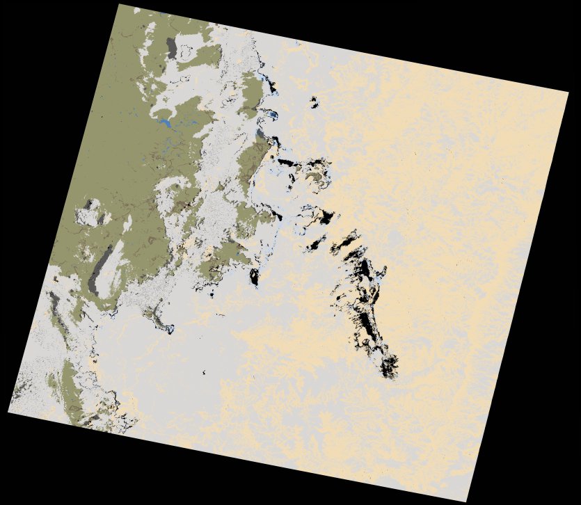
wofs_ls_170081_2021-12-13.stac-item
dataset of product wofs_ls
Indexed by odc_writer
,
created
Region
170081
for
13th December 2021
Fields 🔗
cloud_cover
77.96
collection_category
T1
creation_time
2023-05-05 00:12:40
crs_raw
•
data_coverage
•
dataset_version
1.0.0
eo_gsd
30.0
eo_sun_azimuth
82.444
eo_sun_elevation
62.196
format
GeoTIFF
id
d9bd3586-b41a-5afe-ab8e-ad3de07b7e58
instrument
OLI_TIRS
label
•
lat
-31.355 to -29.259
lon
26.206 to 28.566
platform
landsat-9
product_family
wofs
region
•
region_code
170081
rmse
7.945
rmse_x
5.745
rmse_y
5.488
sat_orbit_state
•
sat_relative_orbit
•
time
2021-12-13 08:03:49 to 2021-12-13 08:03:49
Related Datasets 🔗
wofs_ls_170081_2021-12-13.stac-item