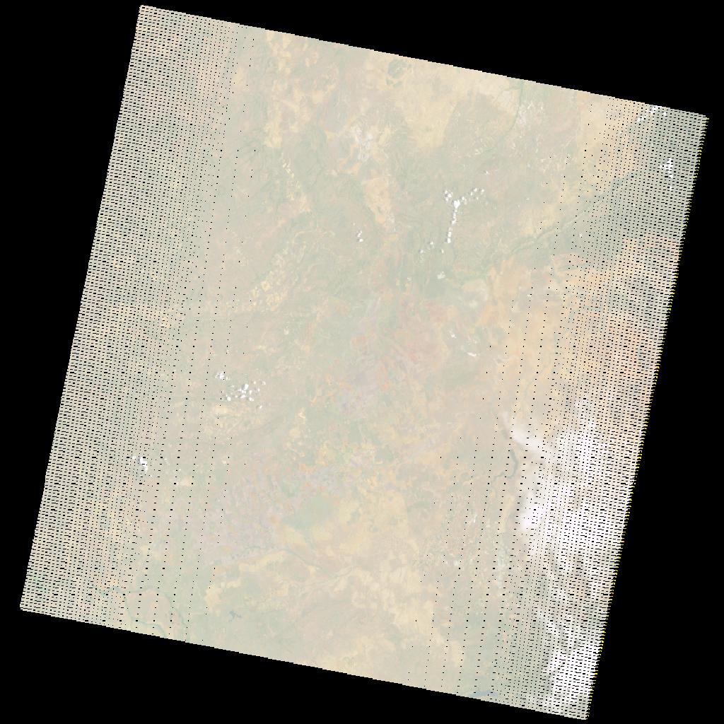
LE07_L2SP_170077_20201210_20210105_02_T1_SR_stac
dataset of product ls7_sr
Indexed by odc_writer
,
created
Region
170077
for
10th December 2020
Fields 🔗
cloud_cover
3.0
collection_category
T1
creation_time
2020-12-10 07:21:59
crs_raw
•
data_coverage
•
dataset_version
•
eo_gsd
•
eo_sun_azimuth
95.583
eo_sun_elevation
54.561
format
GeoTIFF
id
d8e864a6-3167-54a5-82cb-1c8f63734eac
instrument
ETM
label
•
lat
-25.494 to -23.619
lon
27.766 to 30.07
platform
LANDSAT_7
product_family
•
region
•
region_code
170077
rmse
4.788
rmse_x
3.373
rmse_y
3.398
sat_orbit_state
•
sat_relative_orbit
•
time
2020-12-10 07:21:59 to 2020-12-10 07:21:59
Related Datasets 🔗
LE07_L2SP_170077_20201210_20210105_02_T1_SR_stac