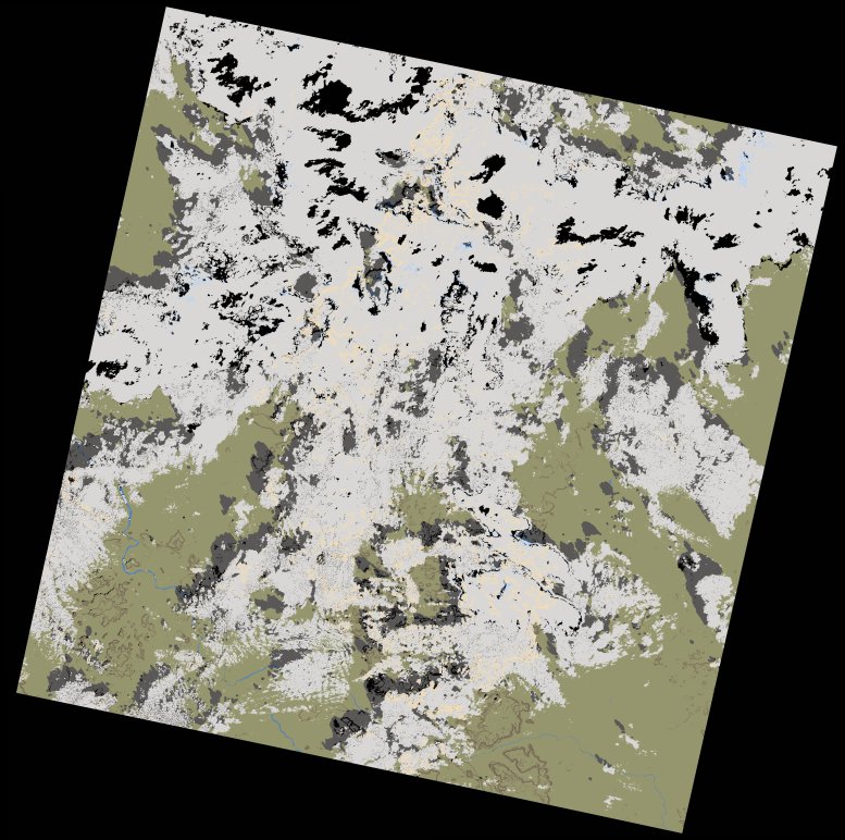
wofs_ls_201050_2023-01-10.stac-item
dataset of product wofs_ls
Indexed by odc_writer
,
created
Region
201050
for
10th January 2023
Fields 🔗
cloud_cover
49.16
collection_category
T1
creation_time
2023-01-12 11:04:28
crs_raw
•
data_coverage
•
dataset_version
1.0.0
eo_gsd
30.0
eo_sun_azimuth
143.95
eo_sun_elevation
45.242
format
GeoTIFF
id
d768cef1-56b8-58bd-9f66-8534cbc4d1aa
instrument
OLI_TIRS
label
•
lat
13.407 to 15.496
lon
-11.522 to -9.448
platform
landsat-9
product_family
wofs
region
•
region_code
201050
rmse
6.844
rmse_x
4.868
rmse_y
4.811
sat_orbit_state
•
sat_relative_orbit
•
time
2023-01-10 11:03:11 to 2023-01-10 11:03:11
Related Datasets 🔗
wofs_ls_201050_2023-01-10.stac-item