LE07_L2SP_178061_20031220_20200915_02_T1_SR_stac
dataset of product ls7_sr
Indexed by odc_writer
,
created
Region
178061
for
20th December 2003
Fields 🔗
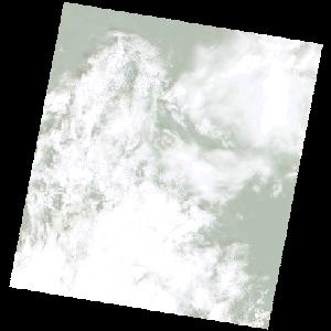
cloud_cover
78.0
collection_category
T1
creation_time
2003-12-20 08:33:49
crs_raw
•
data_coverage
•
dataset_version
•
eo_gsd
•
eo_sun_azimuth
130.01
eo_sun_elevation
54.061
format
GeoTIFF
id
d5654373-2b0b-5762-935c-f3cca543f382
instrument
ETM
label
•
lat
-2.382 to -0.501
lon
20.602 to 22.594
platform
LANDSAT_7
product_family
•
region
•
region_code
178061
rmse
4.002
rmse_x
2.772
rmse_y
2.886
sat_orbit_state
•
sat_relative_orbit
•
time
2003-12-20 08:33:49 to 2003-12-20 08:33:49
Related Datasets 🔗
LE07_L2SP_178061_20031220_20200915_02_T1_SR_stac