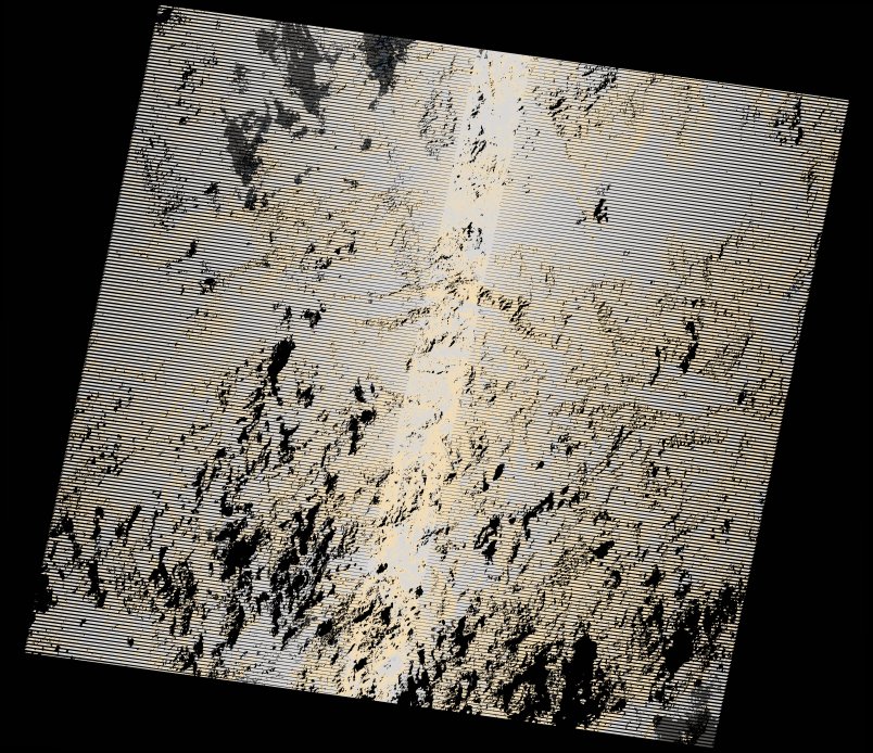
wofs_ls_170055_2022-12-14.stac-item
dataset of product wofs_ls
Indexed by odc_writer
,
created
Region
170055
for
14th December 2022
Fields 🔗
cloud_cover
97.0
collection_category
T2
creation_time
2023-01-09 12:43:16
crs_raw
•
data_coverage
•
dataset_version
1.0.0
eo_gsd
30.0
eo_sun_azimuth
122.908
eo_sun_elevation
31.459
format
GeoTIFF
id
d53fc402-7e41-54ea-8de0-470aa7cc551f
instrument
ETM
label
•
lat
6.311 to 8.165
lon
35.494 to 37.559
platform
landsat-7
product_family
wofs
region
•
region_code
170055
rmse
nan
rmse_x
nan
rmse_y
nan
sat_orbit_state
•
sat_relative_orbit
•
time
2022-12-14 06:03:40 to 2022-12-14 06:03:40
Related Datasets 🔗
wofs_ls_170055_2022-12-14.stac-item