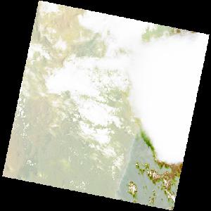
LC09_L2SP_158073_20211225_20230503_02_T1_SR_stac
dataset of product ls9_sr
Indexed by odc_writer
,
created
Region
158073
for
25th December 2021
Fields 🔗
cloud_cover
66.76
collection_category
T1
creation_time
2021-12-25 06:46:27
crs_raw
•
data_coverage
•
dataset_version
•
eo_gsd
•
eo_sun_azimuth
104.672
eo_sun_elevation
62.012
format
GeoTIFF
id
d420cc40-4502-59a2-8692-b3808c7c1084
instrument
OLI_TIRS
label
•
lat
-19.835 to -17.745
lon
47.681 to 49.815
platform
LANDSAT_9
product_family
•
region
•
region_code
158073
rmse
7.855
rmse_x
4.424
rmse_y
6.49
sat_orbit_state
•
sat_relative_orbit
•
time
2021-12-25 06:46:27 to 2021-12-25 06:46:27
Related Datasets 🔗
LC09_L2SP_158073_20211225_20230503_02_T1_SR_stac